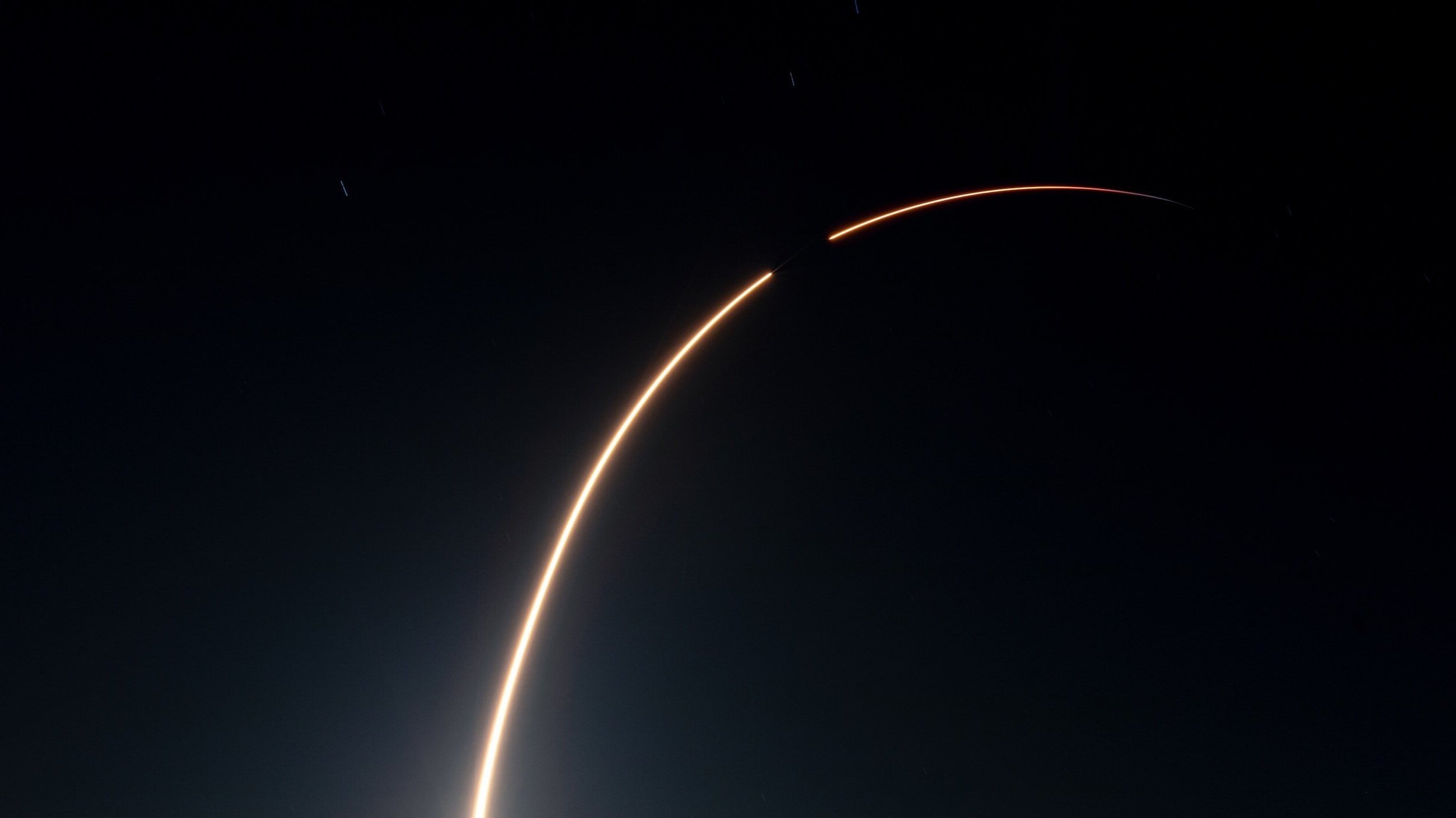
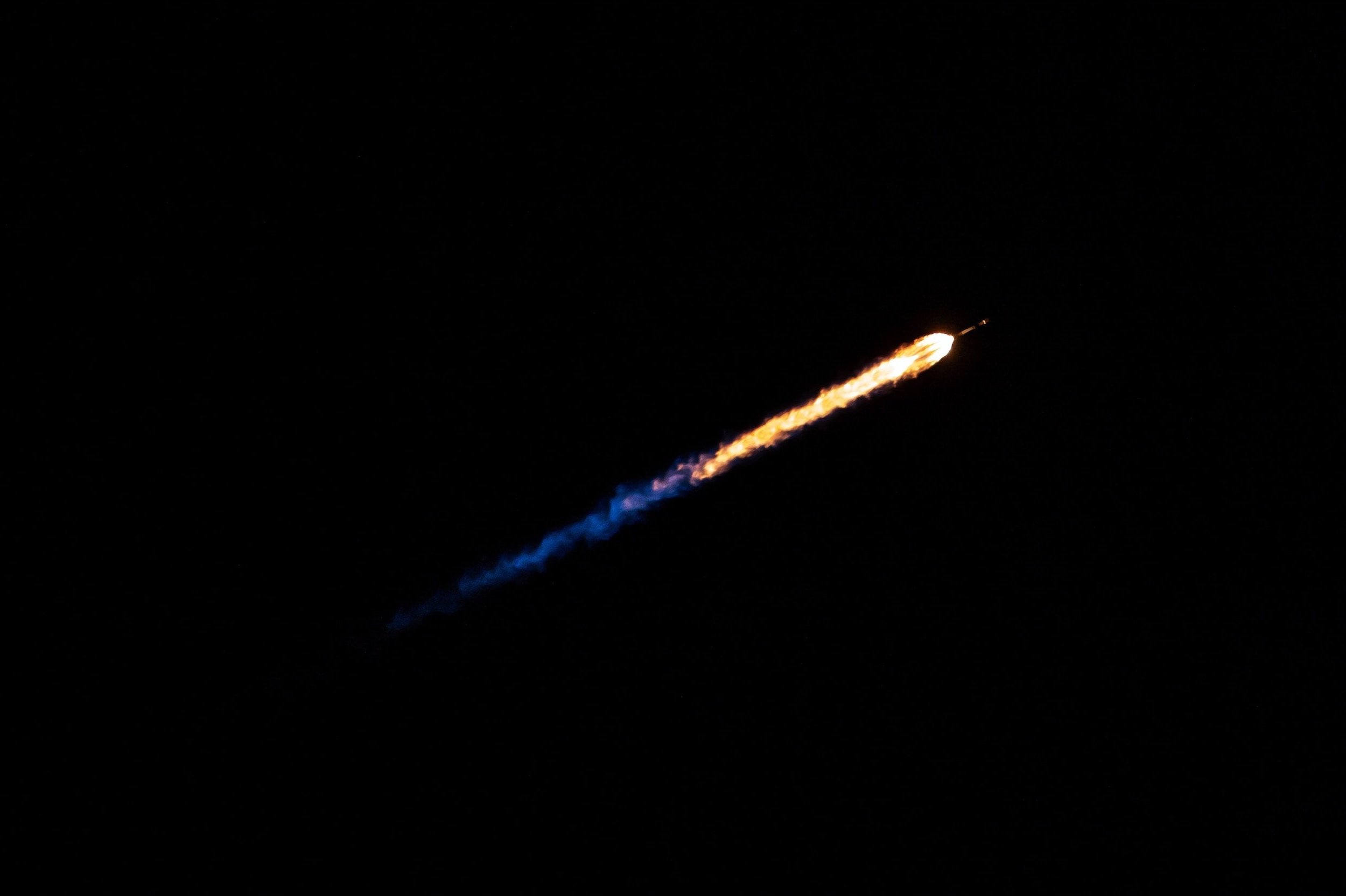
GRAVITY 06
Connecting real-world problems with the space tech Innovators who can solve them.
Which challenge will you solve?
Are you a start-up, scale-up, high-growth business or university using space capabilities?
The GRAVITY Challenge brings together end-users from public and private organisations, data & technology enablers, and Innovators harnessing space to solve some of the world’s most pressing economic, social and environmental problems. From improving response times to natural disasters to minimising vessel strikes on marine life, the applications of space technology are limitless.

GRAVITY 06 Challenges
Our Challenge Providers need your help designing solutions to their real world problems.
Watch the videos to learn about their challenge scope and desired outcomes
On Track for Safety: Satellite Solutions for Road and Rail Networks
Automatically detect changing conditions of the NSW road & rail network through satellite imagery and potential risk modelling.

Innovation-Driven Pit Care
Harness geospatial data to visualise the condition of pits and revolutionise maintenance measures for the entire network.
Elevating Telecommunications Infrastructure:
Elevate Efficiency: Real-Time Insights for Transgrid’s Easement Route Planning
Develop a platform that provides real-time visual insights into access track conditions for Transgrid easements to assist in route and maintenance planning.


Advancing Regenerative Farming Practices
Develop a metric quantifying the impact of regenerative agriculture using Planetary Variables.
Quantify Change, Drive Transformation:

Strengthening Agribusiness: Identifying, Containing, and Mitigating Plant Threats in Northern Australia
Develop a platform to raise awareness about plant biosecurity threats from pests and diseases, supporting NT stakeholders in identification, proactive threat containment, and risk mitigation.

Cultivating Precision, Sustainability, and Innovation
Harness satellite imagery, data fusion, and forecasting models to develop a comprehensive vineyard management tool.
Unlocking UK Vineyard Potential from Above:

Crafting Excellence from Earth to Glass: Measuring Vineyard Carbon Impact
Develop a tool leveraging satellite data to quantify the carbon intake of vineyards and its correlation to agricultural practices.

Satellite Insights for Resilient Agriculture in Africa
Leverage satellite data to drive circular and climate-smart agricultural practices for farmers and pastoralists in drought-prone areas.
Farming the Future:
Satellite Data Empowerment: Extending Farmers' Environmental Impact Scope
Leverage satellite data to improve the range and coverage of farmers' environmental impact data.

Our GRAVITY Challenge Alumni
-
![]()
Gareck Packer - Founder & Solution Architect, GP One Consulting
Champions for the Deloitte Canada Challenge | GC05
“The knowledge we have gained and the product and service offerings we have developed as part of the proof of concept phase was profound, with weekly conversations prompting us to evolve our thinking and approach over time.”
-
![]()
Julika Voß - Marine Scientist, SpaceWhale
Champions for the Whale and Dolphin Conservation Challenge | GC04
“Whales are amazing and they also play an important role in carbon cycles. Their conservation is part of nature based solutions to the carbon crisis. Therefore it's not only fun to study these animals but important. We’re absolutely excited about the pilot study, it has the potential to lift marine conversation to another spatial scale.”
-
![]()
Prateek Srivastava - Co-Founder, Terraview
Champions for the Treasury Wine Estates (TWE) Challenge | GC05
“It's been a revelation for us that a large producer is so open to technology innovation. Usually in the Agri space there is always conflict about tradition versus what technology can bring. I think the challenge was able to bring the best of both worlds together to overcome the problems that food producers will face for the next decades.”
-
![]()
Gaetano Volpe - CEO, Latitudo 40
Finalists for the Deloitte Canada Challenge | GC05
“During the program, we learned so much. Not only technological and business concepts but we also had the opportunity to learn strategical and operational vision from our Challenge owner and technological partners - mainly Spire and AWS.“
-
![]()
Anneley Hadland - Head of Remote Sensing, Helyx
Champions for the Saber Astronautics Challenge | GC05
“The most rewarding part of the challenge for us is being welcomed into the fold of space domain awareness. To be invited to the international space traffic management trials and to be developing a prototype that will be tested at the next one.”
-
![]()
Torsten Bondo - Business Development Manager, DHI Group
Champions for the Wildfowl and Wetlands Trust (WWT) Challenge | GC05
“We have learned quite a lot since participating in GRAVITY, mostly through this continuous dialogue - a series of meetings have been set up and we had the chance to work with the right people throughout this period.”
-
![]()
Gareth Harris - GIS Consultant, Helyx
Finalists for the NSW Treasury Challenge | GC05
“The GRAVITY Challenge for Helyx was quite a natural choice because Helyx prides itself in its innovative solutions. Therefore, going to a GRAVITY Challenge where we can really push ourselves and have new problem sets where we can adapt new solutions to is really at the forefront of our missions.”
-
![]()
Alex Coville - Sales Executive, PlanetWatchers
Champions for the Serasa Experian Challenge | GC05
“It’s been fascinating to learn the nuances of growing food in Brazil compared to the US. Up until this point, we’ve been very specific about our ideal customer profile - crop insurers in the United States. Through GRAVITY, we got exposure to further financial use cases where our existing technology can be modified to solve new business challenges.”
-
![]()
Lucy Kennedy - CEO, Spottitt
Champions for the DIT Challenge | GC04
“It's always exciting to see the breadth and depth of applications space, in particular earth observation, has in the world around us. If there's a challenge GRAVITY is offering on your roadmap for development, or you're curious go for it. You’ll get lots of support and work with solution providers who are really interested in helping you succeed to help with their issues.”
-
![]()
Bosco Lai - CEO & Co-Founder, Little Place Labs
Champions for the NatWest Challenge | GC04
“GRAVITY Challenge is an excellent opportunity to work with leaders like Deloitte and NatWest, who have already built a strong foundation of knowledge and commitment to fighting climate change. Over the last few months, we have gathered many insights to see a much more complete and holistic picture, and we bring in value by showing the power of space analytics. This is true proof that innovation doesn't happen in silos, but through collaboration.”
-
![]()
David Carter - CEO, Deep Planet
Finalists for the Treasury Wine Estates (TWE) Challenge | GC05
“We joined the GRAVITY Challenge as it was an immense opportunity to collaborate with leaders in the industry and come up with impactful solutions that could really change the way things are done around irrigation and sustainability in the wine sector.”
-
![]()
Dr. Bo Du - Leader of Future Transport & Mobility, UoW SMART Infrastructure Facility
Champions for the NSW Treasury Challenge | GC05
“The most rewarding and important part in this journey was the efficient and effective collaboration and communication, not just within the team but also with all the stakeholders.”
-
![]()
Dr Moira Smith - Chief Technology Officer, DCAT
Champions for the DIT Challenge | GC04
“The most rewarding part has been working with the team at DIT, innovating, forming a great proposal to solve the problem with and for them. We've learned a lot about the clients needs and what we, as a team, can bring to solve client problems at the right price point.”
-
![]()
Dmitry Selivanov - CEO & Founder, Rexy.ai
Finalists for the Mitsui Challenge | GC04
“The major challenge for start-ups is finding product market fit. This is especially the case in space tech. It can take months to get an invitation from potential customers. GRAVITY provides direct exposure to the companies that have problems, and are willing to explore innovative solutions. If you're an early stage company thinking about joining the next challenge, go for it.”
-
![]()
Jawwad Hasan - CEO & Co-Founder, Agrilift
Finalists for the Serasa Experian Challenge | GC05
“The most rewarding aspect was navigating through some of the problems that we faced during the project and seeing the dedication of the team as they went above and beyond to find solutions and collaborate, as the overall success was dependent on each individual component.”
-
![]()
Phil McLachlan - CEO, DCAT
Champions for the NatWest Challenge | GC04
“We enjoyed the interaction with the NatWest Group team. Understanding their needs and the constraints that sit around that, as well as the commercial elements to making a service work has been really valuable. GRAVITY has reinforced our view that more and more enterprises are beginning to realise the opportunities satellite data can provide their business. It's reinforced our view of where this industry is going.”
-
![]()
Alexis Moyer - Head of ESG & Spatial Finance, Space Intelligence
Finalists for the NatWest Challenge | GC04
“We've found it rewarding to work directly with, and collaborate with NatWest. The challenge has given us a good basis for our solution, based first and foremost on the market need. We’ve really gotten insight into what the market needs in terms of provided solutions and the systems NatWest uses in-house in terms of ESG reporting. It’s been a rewarding and worthwhile experience for us.”